
According to a travelogue by Dr. F. v. Hochstetter’s, titled “Journey in Turkey”, from August to October 1869, using the maps of A. Petermann’s of Turkey in Stieler’s Hand Atlas No. 385, published in the “Mittheilungen aus Justus Perthes’ geographischer Anstalt über wichtige neue Erforschungen auf dem Gesammtgebiete der Geographie”, we can read the following:
Translated:
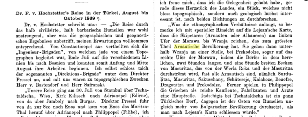
“As for the ethnographic conditions, I note with special reference to Lejean’s map, the Skipetarian (Arnautische or Albanians) on the left bank of the Morava extend as far as Vranja, which has a predominantly Albanian population. They then cross below Vranja, at one point near Prekodolze, even onto the right bank of the Morava, where almost all the villages in the magnificent two-hour-long and one-hour-wide basin of Masuritza, traversed by the Verla Reka and the Masuritza rivers, are Albanian. These villages include Surduļitza, Masuritza, Sakushany, Schüteroje, Kalaboze, Benofre, Dragonitza, and Prekodolze.”
Source
Mittheilungen aus Justus Perthes’ geographischer Anstalt über wichtige neue Erforschungen auf dem Gesammtgebiete der Geographie. 1869.

